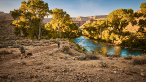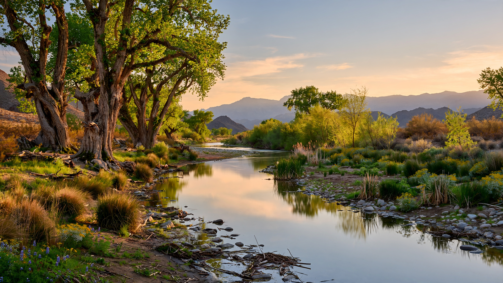
In southeastern Arizona, the San Pedro River does something that can seem almost improbable in the desert: it keeps making room for life.
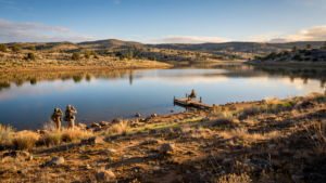
Its channel is narrow in places, seasonal in others, and often modest beside the broad rivers that define other parts of the American West. Yet along roughly 40 miles of river corridor, the San Pedro supports cottonwood forests, cienega wetlands, grasslands, wildlife, and a remarkable concentration of migrating birds. The landscape is greener than the surrounding desert because water, even when hidden beneath the surface, remains close enough to sustain a living ribbon across southeastern Arizona.
That ribbon is protected within the San Pedro Riparian National Conservation Area, a public landscape managed by the Bureau of Land Management. Created by Congress in 1988, the conservation area covers about 57,000 acres along the river in Cochise County. It was one of the first national conservation areas established specifically to protect a riparian ecosystem.
The story of the San Pedro is not simply one of preservation. It is a story about what can happen when a river is recognized as more than a channel carrying water away. The river is habitat, migration route, archive, recreation space, and a working part of the region’s future.
A desert river with an unusually open path
The San Pedro begins in Mexico’s Sierra San Luis and enters the United States near Palomitas, Arizona. From there it flows north through a basin framed by the Huachuca, Dragoon, and Mule mountains before joining the Gila River near Winkelman.
Unlike many major rivers in the West, the San Pedro has not been reshaped by a large chain of dams and reservoirs. The river’s flow changes with the seasons. Summer monsoon storms can swell the channel quickly, while dry periods may leave stretches of surface water interrupted or diminished. Underground water, springs, and cienegas—wet, marshy areas fed by groundwater—help maintain the river’s broader ecological system. For related reading, see The Verde River Greenway: How a Cottonwood Corridor Keeps a Desert Town Connected to Water.
That variability is part of the river’s character. A desert river does not need to look full every day to be essential. Its floodplain stores water, its vegetation slows erosion, and its underground connections help sustain life beyond the visible stream.
The BLM describes the San Pedro Riparian National Conservation Area as one of the last undammed desert rivers in the American Southwest. That distinction matters because free-flowing rivers preserve a wider range of natural processes: seasonal flooding, sediment movement, shifting channels, and the regeneration of riverbank forests.
Where cottonwoods turn water into habitat
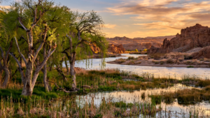
The most recognizable feature of the San Pedro corridor is its gallery forest. Fremont cottonwoods and Goodding’s willows rise above the river, creating a shaded band that can be dramatically cooler and more humid than the open desert nearby. Mesquite bosques, grasslands, wetlands, and rocky slopes add further layers to the habitat.
For wildlife, that variety creates options. Birds can nest in tall trees, forage along muddy edges, rest in dense vegetation, or use the river as a navigational landmark. Mammals and reptiles move through the corridor, while fish and aquatic organisms depend on the pockets of water that remain connected to the river system.
The river is especially important during migration. The San Pedro lies within the Pacific Flyway, one of the major routes used by birds traveling through western North America. More than 400 bird species have been recorded in the watershed, according to conservation and birding organizations that study the region. The exact number of species present at any moment changes with the season, but the larger point is consistent: a narrow desert river can function as a continental-scale refuge.
That is one of the quiet lessons of riparian habitat. A place does not have to be enormous to be ecologically significant. A continuous line of trees and wetlands can connect otherwise separated landscapes, offering food and shelter to animals that may have traveled hundreds or thousands of miles.
Protection began with a different idea of public land
National conservation areas occupy an important middle ground in the American public-land system. They are protected for conservation, but they are not necessarily closed landscapes. Recreation, grazing, research, cultural uses, and other activities may continue when they are consistent with the health of the land. For related reading, see Havasu National Wildlife Refuge: The Arizona River Landscape That Keeps a Desert Passage Open.
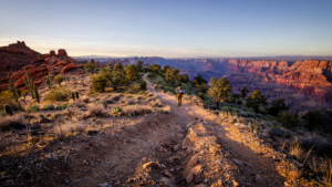
That approach is visible along the San Pedro. Visitors can hike, watch birds, study plants, photograph the river, and experience the changing character of the floodplain. The conservation area is not a manicured park or a single overlook. It is a working landscape whose value comes from relationships among water, soil, vegetation, wildlife, and people.
The area also holds evidence of a long human history. Indigenous communities lived in and traveled through the San Pedro region for centuries. Later, the river corridor became part of Spanish, Mexican, and American settlement histories, including transportation routes, ranching, mining, and military activity. Archaeological sites and historic places remain part of the landscape, though their protection requires care and restraint.
The river’s cultural importance is not separate from its ecological importance. A corridor that preserves water and habitat also preserves the physical setting in which human stories unfolded. Cottonwoods shade traces of older roads. Wetlands occupy places where people gathered. The same geography that attracts migrating birds also explains why communities returned to the river again and again.
A refuge that depends on work beyond its boundaries
Protection inside the conservation area does not make the San Pedro’s challenges disappear. The watershed crosses jurisdictions and national borders. Groundwater pumping, drought, wildfire, invasive plants, development, and climate change can influence the river even when the immediate riverbank remains protected.
That is why the San Pedro has become a long-running example of collaborative conservation. The BLM works with federal and state agencies, local communities, researchers, conservation groups, ranchers, and volunteers. Organizations such as The Nature Conservancy have helped protect additional lands and water sources in the watershed, while scientific monitoring has improved understanding of groundwater, vegetation, wildlife, and river conditions.
Conservation here is often practical rather than dramatic. It can mean removing invasive vegetation, restoring native plants, monitoring water levels, improving livestock-management practices, protecting springs, or acquiring land that keeps an important section of habitat connected. These actions rarely produce a single triumphant moment. Their success is measured in continuity: trees that survive, water that remains available, birds that find cover, and people who can still encounter a functioning river. For related reading, see Willow Creek Reservoir: How a Prescott Waterway Became a Quiet Place for Wildlife and Everyday Life.
The partnership model also reflects a reality of desert conservation. No single agency owns every part of the problem, and no single project can secure the future of the watershed. A river corridor survives through many decisions made in different places by people who may never stand together on the same riverbank.
Why the San Pedro still feels like good news
There is a tendency to describe desert rivers only through scarcity: declining groundwater, hotter temperatures, shrinking wetlands, and pressure from growth. Those concerns are real, but they are not the whole story of the San Pedro.
The river demonstrates that protection can preserve possibility. A cottonwood forest still rises in a place where the surrounding terrain appears dry. Migrating birds still use the corridor. Public agencies and local partners continue to study and care for the watershed. Visitors can walk through a living landscape rather than viewing it only in photographs or historical descriptions.
The good news is not that the San Pedro has been removed from risk. It is that a river once vulnerable to being treated as expendable now has a durable public framework around it. Its protection gives science a place to work, gives wildlife a route through the desert, and gives communities a reason to think beyond the next season.
On a morning visit, the river may appear understated: a line of trees, a damp bank, a faint current, bird calls moving through the canopy. But the San Pedro’s importance is larger than its visible water. It is a living connection between mountain, desert, grassland, wetland, and sky.
In a region where every drop is counted, the river’s greatest gift may be continuity. It keeps a path open—for water, for wildlife, for memory, and for the possibility that careful stewardship can allow a desert river to remain fully alive.
Use: Official overview of the conservation area, its size, river corridor, habitat, recreation, and management.
Use: Management and conservation context for the protected river landscape.
Use: Watershed-scale conservation work and ecological significance of the San Pedro corridor.
Use: Bird habitat and migration significance of the San Pedro River region.