In many American cities, downtown streets are designed first to move cars through them. People may walk along the edges, cross at marked intersections, or pause in a small plaza, but the street’s main purpose remains movement.
Indianapolis tried something more ambitious. It built a continuous route through the heart of the city where walking and cycling are not afterthoughts, and where public art, planting, transportation, and neighborhood identity share the same ground.
The result is the Indianapolis Cultural Trail: an approximately eight-mile urban path connecting several downtown districts and destinations. It is not simply a recreational trail placed beside the city. It is woven into the city itself, running past businesses, museums, theaters, hotels, public spaces, and homes.
That distinction helps explain why the trail has become one of Indianapolis’s most recognizable civic projects. Its central achievement is not just that it gives people a place to ride a bicycle. It gives the city a different way to experience distance.
A trail built into the city
The Cultural Trail opened in 2013 after years of planning and construction. Its route links Indianapolis’s downtown cultural districts, including the areas associated with Mass Ave, Fountain Square, the Canal and White River State Park, Indiana Avenue, and the Wholesale District. The path also connects with the Monon Trail and other routes that extend beyond downtown.
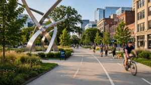
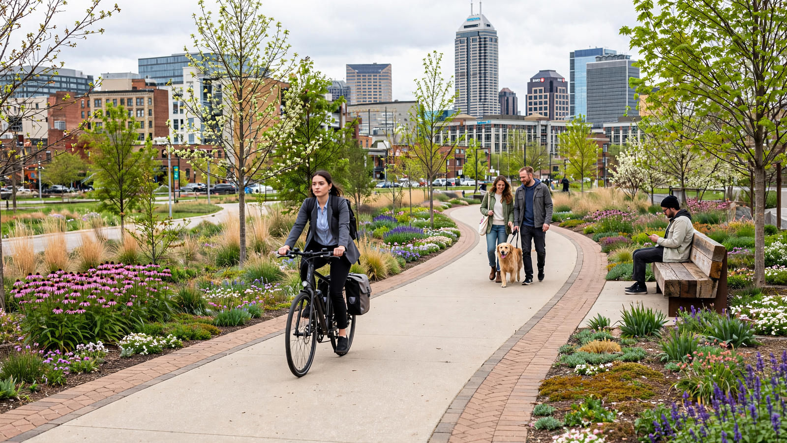
Rather than treating every block in the same way, the trail adapts to its surroundings. In some places it follows a dedicated corridor. In others, it occupies a carefully designed section of the street. A typical segment separates people walking from people cycling and uses landscaping, curbs, planters, or other elements to create a clearer boundary between the trail and vehicle lanes.
This arrangement changes the feeling of an ordinary trip. Someone heading from a restaurant to a concert, from a hotel to a museum, or from a neighborhood to downtown does not have to choose between driving and navigating a narrow sidewalk. The route makes moving through the city part of the public experience. For related reading, see The Prescott Circle Trail: How a Mountain Town Made Room for a Bigger Walk.
The trail is managed by the nonprofit Indianapolis Cultural Trail, Inc., which works with the city and other partners on operations, programming, maintenance, and stewardship. That organizational model matters. A trail that passes through the center of a major city has to function as infrastructure, public space, and a piece of civic identity at the same time.
More than a line on a map
The Cultural Trail’s design is deliberately layered. Along the route are gardens, trees, seating areas, lighting, public art, and places to stop. These features are not decoration added after the transportation work was finished. They help make the trail legible and inviting.
Public art gives different sections of the trail their own character. The project includes permanent works by artists whose installations respond to Indianapolis neighborhoods, local history, movement, and the city’s relationship with technology and industry. The art turns the route into a kind of open-air gallery, but it also gives pedestrians reasons to slow down and look around.
Landscaping performs practical work as well. Trees provide shade in a city where summer pavement can be punishing. Plantings soften intersections and create visual separation. Stormwater features can help manage runoff while making the route greener. Benches and small gathering spaces encourage the trail to operate as more than a passage between destinations.
One of the most visible additions is the Indiana Pacers Bikeshare system, which allows people to use bicycles for short trips without bringing their own. The system extends the trail’s reach and makes cycling available to visitors, workers, and residents who may not own a bike.
That combination is important. A transportation route becomes more useful when it connects to other ways of moving, and a public space becomes more welcoming when people can arrive without needing a private car.
Connecting districts with different histories
Indianapolis is often described as a downtown city organized around a central core, but its nearby districts have distinct histories and identities. The Cultural Trail does not erase those differences. It makes them easier to encounter in sequence.
A person can begin near the shopping and restaurant activity of Mass Ave, continue toward the center of downtown, turn toward the cultural attractions around the Canal, and then travel south toward Fountain Square. The route offers a physical connection between places that might otherwise feel like separate destinations. For related reading, see Indianapolis Turned Eight Miles of City Streets Into a Cultural Trail.
That is one reason the trail is best understood as a civic connector rather than a single attraction. Its value lies partly in what it makes possible between major destinations: an unplanned stop, a conversation on a bench, a short bike ride to work, or a safer-feeling route to a local business.
It also gives visitors a way to see Indianapolis at ground level. From a car, downtown appears as a collection of buildings and intersections. On the trail, the city unfolds more slowly. Storefronts, murals, trees, public art, and changing architecture become part of the journey.
The economic case for a public place
Urban trails are sometimes evaluated only by counting how many people use them. The Indianapolis experience suggests a broader measure. A well-designed public route can influence where people invest, how businesses present themselves, and how a city thinks about underused street space.
The Cultural Trail was built through a public-private partnership involving the city, philanthropic support, and other funding sources. Its creation helped demonstrate that transportation infrastructure could also support downtown redevelopment and neighborhood connection.
That does not mean a trail automatically produces equal benefits for every nearby resident or business. Urban investment can bring difficult questions about affordability, access, and who gets to shape change. The trail should not be treated as a substitute for housing policy, reliable transit, or broader neighborhood investment.
Its more durable lesson is narrower and more useful: public infrastructure can be designed to do several jobs at once. A street corridor can move people, collect stormwater, support trees, display art, serve businesses, and give residents a place to meet.
A different idea of everyday distance
The Cultural Trail’s most meaningful contribution may be psychological. It makes short trips feel possible without a car and makes the city feel more continuous on foot. For related reading, see Prescott’s Courthouse Plaza: How a Territorial Square Became Yavapai County’s Shared Living Room.
That change is easy to overlook because it happens through ordinary routines. A worker walks a few blocks instead of driving. A visitor rents a bicycle to reach a museum. A family stops to watch a public performance. Someone sits under a tree while waiting for a friend. None of these moments is dramatic, but together they define what a city feels like to live in.
The trail also makes room for forms of movement that are often separated from one another. Commuters, tourists, runners, families, cyclists, and people simply looking for somewhere pleasant to sit can share the same connected landscape. They do not all use it in the same way, but they benefit from a common public framework.
That is the quiet ambition behind the project. It does not ask Indianapolis to become a different kind of city overnight. It changes a series of everyday choices—how people cross downtown, where they pause, which districts they visit, and whether a short trip feels worth making.
What Indianapolis put on the street
The Cultural Trail is often presented as a model for other cities, but its deeper importance is local. Indianapolis took space that had primarily served traffic and made it serve public life more visibly.
Its success is not based on one spectacular landmark. It comes from continuity: the repeated presence of shade, art, seating, bicycle access, planted edges, and clear paths. Each element is modest on its own. Together, they create an urban room that stretches across downtown.
That is why the trail can feel both like infrastructure and like a destination. It helps people get somewhere, but it also gives them a reason to stay outside a little longer. In a country where many public places are separated from daily transportation, Indianapolis offers a different possibility: a city route that is useful precisely because it is also enjoyable.
The lesson is not that every city needs to copy the same eight-mile loop. It is that public space can be planned as a connective tissue rather than a leftover. When a city gives people a comfortable, beautiful way to move through it, the distance between neighborhoods can become more than a measurement. It can become part of the city’s shared life.
Use: Project overview, route purpose, trail operations, public-space design, and connections.
Use: Opening date, route history, cultural-district connections, and development background.
Use: Information about the trail’s permanent public-art program and installations.
Use: Information about the bikeshare system connected to the Cultural Trail and downtown mobility.
Use: Municipal context for Indianapolis streets, transportation infrastructure, and public works coordination.