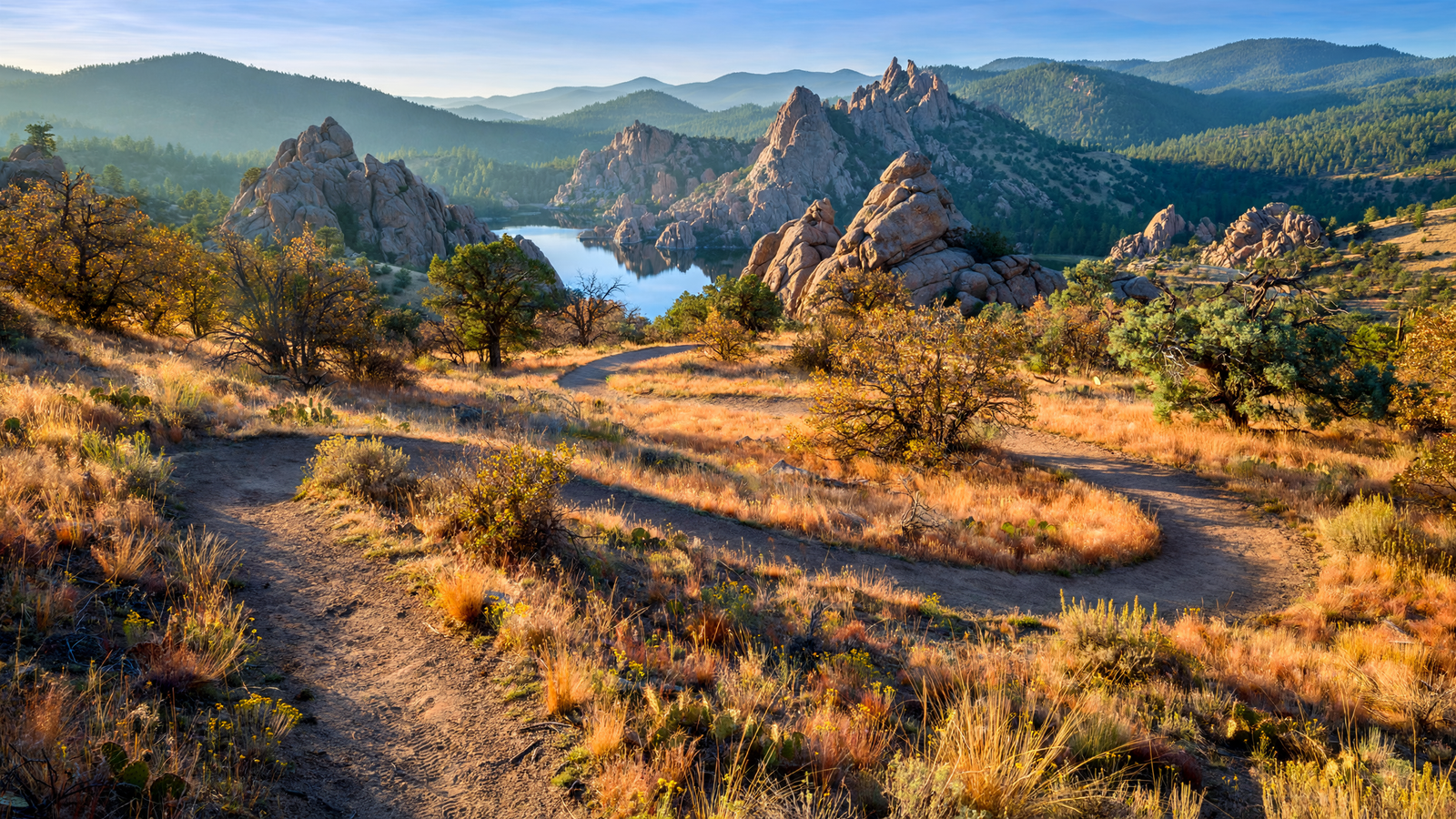
Prescott is often introduced through individual landmarks: a courthouse square, a mountain, a lake, a historic district or a stretch of forest. The Prescott Circle Trail offers a different way to understand the city. Rather than leading to one destination, it creates a long, looping route around Prescott and ties many smaller landscapes into a single outdoor system.
The planned loop is roughly 54 miles long. It uses a combination of existing trails, new connections and shared-use routes across public lands and local jurisdictions. Some portions pass through Prescott National Forest; others run near city neighborhoods, roads, reservoirs and open country. Taken together, the route shows how a mountain community can be experienced not only as a collection of sites, but as a connected landscape.
A trail that works as a network
The Prescott Circle Trail is not the kind of path most people complete in one outing. Its identity comes from the way its sections fit together. Hikers, runners, mountain bikers and other nonmotorized users can choose shorter segments instead of treating the entire loop as a single endurance challenge.
That design matters in a place where the transition from town to forest can happen quickly. A person may begin near a developed trailhead, travel through open ponderosa country, cross a rocky drainage or skirt a reservoir, and return to a road or neighborhood without ever leaving the larger Prescott landscape. The route makes those changes visible.
It also reflects the practical reality of public trails. Land ownership rarely follows the lines people imagine on a map. A continuous recreational route may require cooperation among the City of Prescott, Yavapai County, the U.S. Forest Service and other land managers. The Circle Trail is therefore both a path and a piece of civic infrastructure: a way to connect places that are governed separately.
Prescott’s landscape in one long view
The loop’s appeal comes from variety. Prescott sits in a transition zone where high-desert vegetation, grassland, chaparral and ponderosa pine forest meet. Elevation, slope and water availability change the character of the route from one section to the next.
Near the city, trail users encounter the kinds of spaces that make outdoor access part of ordinary life: neighborhood edges, local parks and established trailheads. Farther out, the route opens toward larger forested and rocky areas. Seasonal creeks, drainage corridors and mountain views give the trail a sense of movement even when the route itself is relatively steady.
That variety is especially important for a community whose outdoor identity is often reduced to a few famous places. The Circle Trail broadens the picture. It places less celebrated stretches of woodland and desert alongside the better-known recreation areas, showing that a landscape’s value is not limited to its most photographed viewpoint.
Why connections matter
A single trail can provide exercise or a quiet walk. A connected trail system can do more. It can give residents multiple ways to reach open space, reduce the need to drive to every outdoor destination and create routes suited to different ages and abilities.
The Circle Trail also offers a framework for future decisions. When a trail is understood as part of a loop, a missing segment becomes more than an isolated gap. It is a break in a larger public route. That perspective can help communities think about crossings, signage, maintenance, parking and access as connected responsibilities rather than separate projects.
Connectivity does not eliminate difficulty. Roads still need to be crossed carefully, conditions vary by season and some sections are more demanding than others. The Forest Service and the city advise users to check current maps, closures and conditions before setting out. A route that is comfortable in cool weather may be exposed and strenuous during a hot afternoon, while winter storms can affect surfaces and access in the higher country.
A shared landscape, not a private shortcut
Because the route moves through public lands and near residential areas, using it well requires attention to more than personal recreation. Staying on marked routes helps protect vegetation and soil. Yielding appropriately, keeping dogs controlled where rules require it and leaving natural and historic features undisturbed are small actions that make a shared trail function better.
Users also need to remember that a long loop can pass through different management areas. Regulations may change from one segment to another, including rules for dogs, bicycles, parking and camping. Official maps and signs are more reliable than assumptions carried from another part of the route.
Those details can sound ordinary, but they are part of what makes a regional trail durable. Public access depends on the landscape remaining healthy and on neighbors, visitors and land managers being able to share it without placing every burden on the next person.
Seeing Prescott by its edges
The Prescott Circle Trail changes the usual direction of travel. Instead of moving toward a central attraction, it invites people to look outward, following the city’s edges and the terrain beyond them. That view reveals how Prescott is held together by more than buildings and roads. Forest, rock, water, wildlife habitat and open space are part of the community’s daily geography.
Not everyone will walk the full loop, and no one needs to. Its significance is that a resident can use one section for an evening outing, connect two segments on a weekend or gradually learn the larger shape of the place. The route turns a set of separate recreational choices into a shared map.
In that sense, the Prescott Circle Trail is less a single destination than a way of reading the city. It shows where neighborhoods meet the forest, where drainage corridors create movement through dry country and where public agencies can cooperate to preserve access. The loop’s most lasting achievement may be simple: making it easier to understand Prescott as one connected high-desert landscape.
Use: Official overview of the trail loop, local access and route information.
Use: Federal land-management information, trail sections, maps and visitor guidance.
Use: Municipal context for Prescott’s trail system, recreation areas and public access.